
Roads Worth Driving in Florida
The Overseas Highway, A1A, the Tamiami Trail, 30A, the Big Bend, and the Ormond Loop. Six Florida drives that earn the gas money.
The best drives in Florida are the Overseas Highway to Key West, A1A along the Atlantic, the Tamiami Trail through the Everglades, Scenic Highway 30A in the Panhandle, US 98 through the Big Bend, and the Ormond Scenic Loop near Daytona. Each one shows you a different Florida, and none of them require a boat, though a couple will make you want one.
Florida gets written off as an interstate state. I-95, I-75, I-4, and a turnpike, all of them built to move people past the place rather than through it. Get off those roads and the state changes shape. Here are the ones worth the detour.
The Overseas Highway: US 1 to Key West
This is the famous one, and it deserves it. US 1 leaves the mainland south of Homestead, crosses to Key Largo, and then hops island to island until the road simply runs out in Key West. For long stretches you have water on both sides. The Atlantic on your left, the Gulf on your right, and not much between them but bridge.
The Seven Mile Bridge near Marathon is the stretch people photograph, and it earns the attention. The old bridge runs alongside the new one, closed to cars, open to people walking and fishing off it.
A few notes from doing it more than once:
- Do not try to make time. It is mostly two lanes and everyone in front of you is also on vacation.
- Stop in the middle keys. Islamorada and Marathon have the fish houses, and the fish came off a boat that morning.
- Watch mile markers, not addresses. Everything in the Keys is located by mile marker, counting down to zero in Key West.
- Go in the morning. Afternoon traffic backs up behind every drawbridge and every left turn.
By the time you hit Key West you have earned the key lime pie. Get the tart kind, not the sweet kind, and argue about it later.
A1A: the Atlantic the slow way
A1A is not one road so much as a habit. It runs up the Atlantic coast in pieces, hugging the barrier islands, ducking behind dunes, passing through beach towns that range from money to no money and back again within a few miles.
Good stretches to know:
- Through St. Augustine and south past Crescent Beach, where the road sits close to the dunes and the towns stay small.
- Flagler Beach, where the road runs right along the water and the town still looks like a beach town instead of a rendering of one.
- Through the Space Coast near Cocoa Beach, where on a launch day you can watch a rocket go up from the shoulder.
In South Florida, A1A becomes something else. It runs past the hotels of Fort Lauderdale and down into Miami Beach, where the drive is less about scenery and more about people. Ocean Drive on a warm evening is its own kind of show. If that stretch is your Florida, the Good Times Miami Beach Tee was made with that exact mood in mind.
The Tamiami Trail and Loop Road
US 41 between Miami and Naples is called the Tamiami Trail, and it is the drive that will change how you think about the Everglades. It is dead straight, dead flat, and runs through sawgrass that goes to the horizon on both sides. A canal runs alongside the road, and the canal is where the wildlife is. Alligators sunning on the banks. Herons and egrets working the shallows. Anhingas drying their wings on the guardrails like they own them, which they do.
Stop at Shark Valley if you want to get out of the car, or at one of the roadside airboat operations if you want the full tourist experience, which is corny and also genuinely fun.
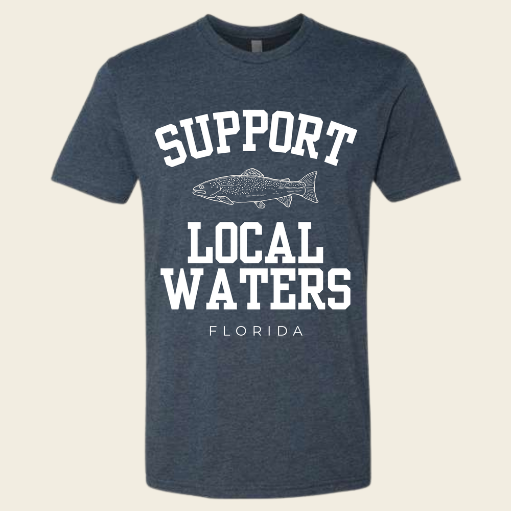
The move for people who want more is Loop Road, a mostly unpaved detour off the Trail through Big Cypress. It is slow, it is rough in places, and it puts you closer to the swamp than the main road does. Drive it with the windows down and take your time. This is the Florida that makes people care about Florida water, and it is the reason a shirt like the Support Local Waters Tee means something down here beyond the slogan.
Scenic Highway 30A in the Panhandle
The Panhandle is a different state in most respects, and 30A is its signature road. It runs behind the dunes along the Gulf between Destin and Panama City Beach, passing through a string of small beach towns: Grayton Beach, Seaside, WaterColor, Seagrove, Rosemary Beach, and a few more.
The water here is the surprise for first timers. The Gulf along this stretch is clear and green, and the sand is white and squeaks under your feet. The road itself is narrow and slow, with bike paths running alongside almost the whole way, and honestly the bike might be the better vehicle.
What to do along the way:
- Grayton Beach for the old Florida feel and the state park.
- Seaside for the food trucks on the green and the postcard town square.
- The coastal dune lakes, which are rare and strange and sit right behind the beach.
Winter on 30A is quiet and underrated. The crowds go home, the light goes soft, and the temperature settles into the range the 73 Degrees Tee is named for. That is not a complaint.
US 98 through the Big Bend
Between the Panhandle and the peninsula, the coast bends and empties out. US 98 through the Big Bend runs past salt marsh, pine flatwoods, and fishing towns that never got developed because the beaches here are marsh, not sand. That kept the condos away and kept the place itself.
Apalachicola is the anchor of the western end, an oyster town with a working waterfront and a real main street. East of there the road passes St. Marks, with its lighthouse and wildlife refuge, and eventually the turnoffs to places like Steinhatchee and Cedar Key, where the economy still smells like fish and nobody is apologizing for it.
This is the drive for people who think they have seen Florida and have not. No theme parks, no toll plazas, long stretches of nothing but water and sky.
The Ormond Scenic Loop
North of Daytona Beach, the Ormond Scenic Loop and Trail strings together a handful of roads into a circuit that covers both sides of the barrier island. One side is the ocean along A1A, past dunes and low-key beach neighborhoods. The other side runs under a canopy of live oaks along the Halifax River, through Tomoka State Park, with Spanish moss hanging low enough to touch the roof of the car.
It is a short drive, easy to do in an afternoon, and it packs beach, river, marsh, and hammock forest into one loop. If you are visiting Daytona for a race or the beach and have half a day, this is the half day.
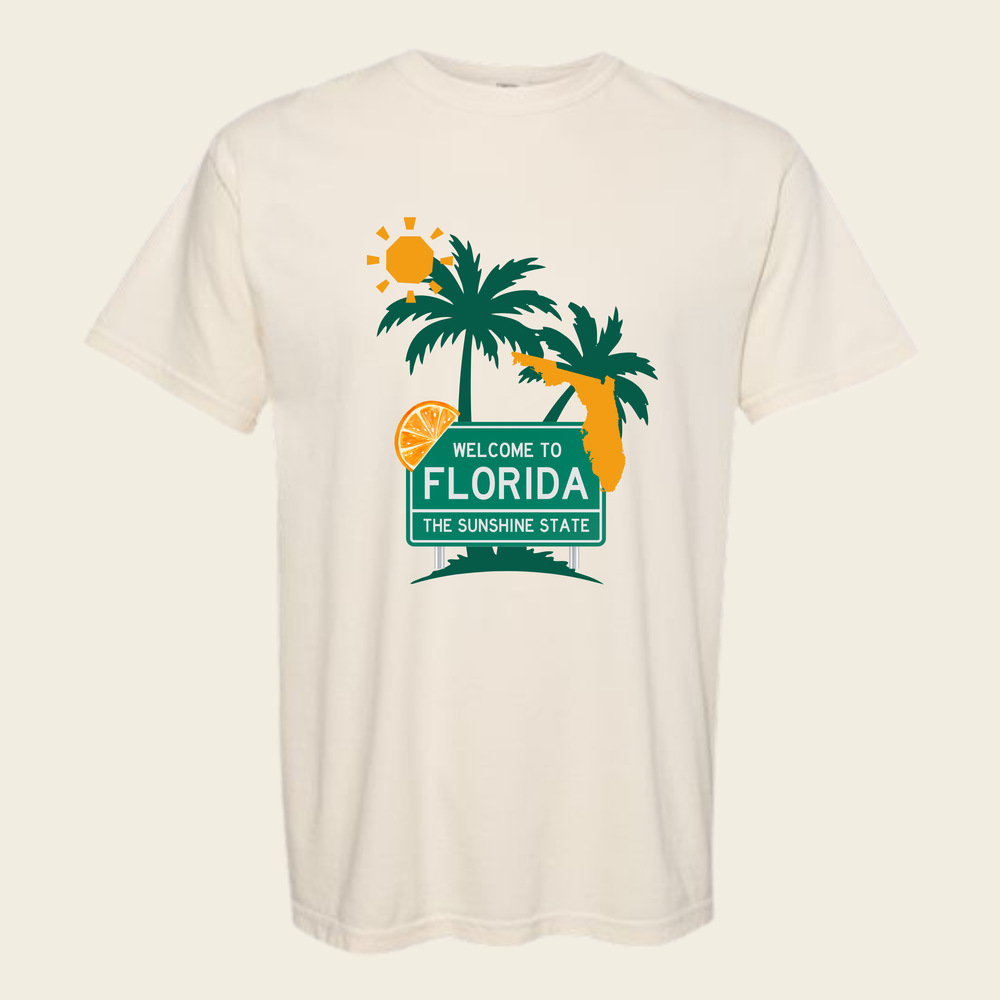
If any of these roads sound like your kind of trip, the Florida collection is where we keep the shirts we make about this state, starting with the Welcome to Florida Tee, which is what every one of these drives says in its own way.
Common questions
How long does it take to drive the Overseas Highway?
Plan on around four hours from Miami to Key West without stops, and more in season or on weekends. The road is mostly two lanes, so your pace is set by whoever is in front of you. Leave early and stop often; rushing it defeats the purpose.
What is the best time of year for a Florida road trip?
Late fall through spring is the sweet spot for most of the state: cooler, drier, and less chance of an afternoon storm. Summer works too if you drive in the morning and accept a daily thunderstorm around mid-afternoon. Just keep an eye on the tropics in late summer and fall.
Is Loop Road in the Everglades okay for a regular car?
Generally yes, if it has been dry and you drive slowly. It is unpaved for much of its length and can get rough or wet after heavy rain, so check current conditions with Big Cypress before you commit. When in doubt, stay on the Tamiami Trail, which shows you plenty from pavement.
Florida




Made by Land & Light — American lifestyle apparel with a sense of place and a sense of humor.
See every shirt