
Roads Worth Driving in Texas
Six Texas drives that earn the gas money, from the River Road along the Rio Grande to the Willow City Loop in bluebonnet season.
The best drives in Texas are FM 170 along the Rio Grande, the Twisted Sisters in the Hill Country, the Willow City Loop in spring, the Davis Mountains Scenic Loop, Highway 217 into Palo Duro Canyon, and the Devil's Backbone on Ranch Road 32. None of them are on the way to anywhere, which is the point.
Texas is big enough that most of your driving here is just getting somewhere. These six roads are different. You drive them because the road itself is the reason, and you plan the rest of the day around it.
FM 170, the River Road
Farm to Market 170 runs along the Rio Grande between Lajitas and Presidio, out past Big Bend Ranch State Park. Locals call it the River Road. Mexico is right there across the water for most of it, close enough that you stop thinking of the river as a border and start thinking of it as scenery.
The road climbs and drops constantly. There is a stretch known as the Big Hill that is steep enough to make people in loaded trucks quiet for a minute. The rest is desert, canyon walls, ocotillo, and almost no other cars. Start with a full tank in Lajitas or Presidio, because there is nothing in between except a couple of river access points and the occasional Border Patrol truck.
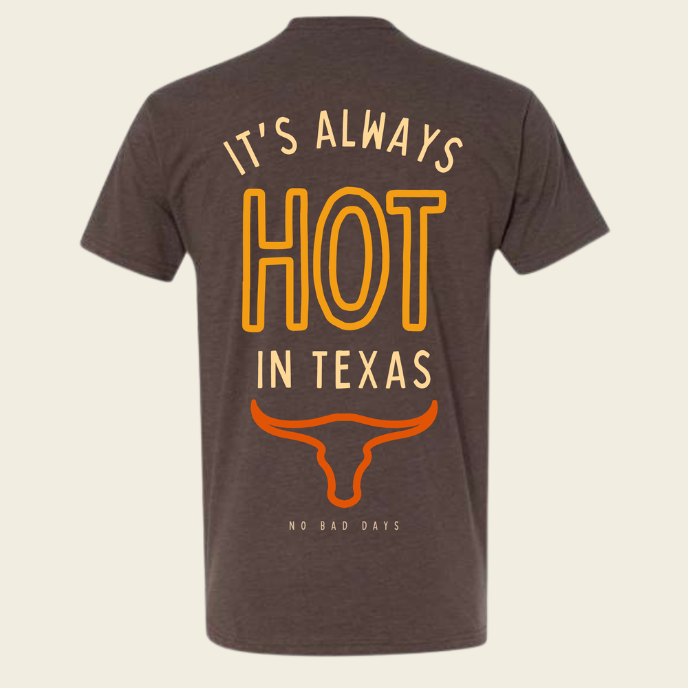
Go in the morning if you can. The light comes in low across the canyons and the heat hasn't built yet. By afternoon in summer this is one of the hottest corners of the state, the kind of place that made somebody design the Hot in Texas Tee in the first place.
The Twisted Sisters
Ranch Roads 335, 336, and 337 form a rough loop in the western Hill Country around Leakey, Camp Wood, and Medina. Motorcyclists call them the Twisted Sisters, and on any dry weekend you will share the road with a lot of bikes. There is a reason. These are the curviest paved roads in Texas, cut through limestone canyons along the headwaters of the Frio and Nueces rivers.
RM 337 between Leakey and Medina is the famous stretch, with switchbacks and long views off the ridgelines. It is also open range in places, meaning cattle and the occasional exotic deer standing in the road with no opinion about your schedule. Drive it like the animals own it, because legally and practically they do.
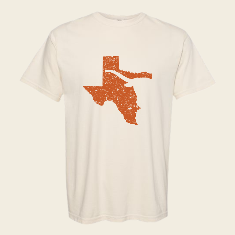
Stop in Leakey for gas and a burger. The whole area is working ranch country between the scenic parts, longhorns behind barbed wire and gates with family names welded into them. It is the landscape the Lone Star Longhorn Tee is about, minus the barbed wire.
Willow City Loop
The Willow City Loop is a narrow county road that leaves Highway 16 north of Fredericksburg, winds through a granite valley for a dozen or so miles, and comes back out near the small community of Willow City. Fifty weeks a year it is a pleasant back road. In late March and April, when the bluebonnets come in, it is one of the most photographed stretches of pavement in the state.
A few things to know:
- The land on both sides is private ranch land. Stay on the road. Ranchers here have been dealing with wildflower traffic for decades and their patience is not infinite.
- It is one lane wide in spots with cattle guards throughout. Go slow.
- Weekends in peak bloom are a slow parade. A weekday morning is a different road entirely.
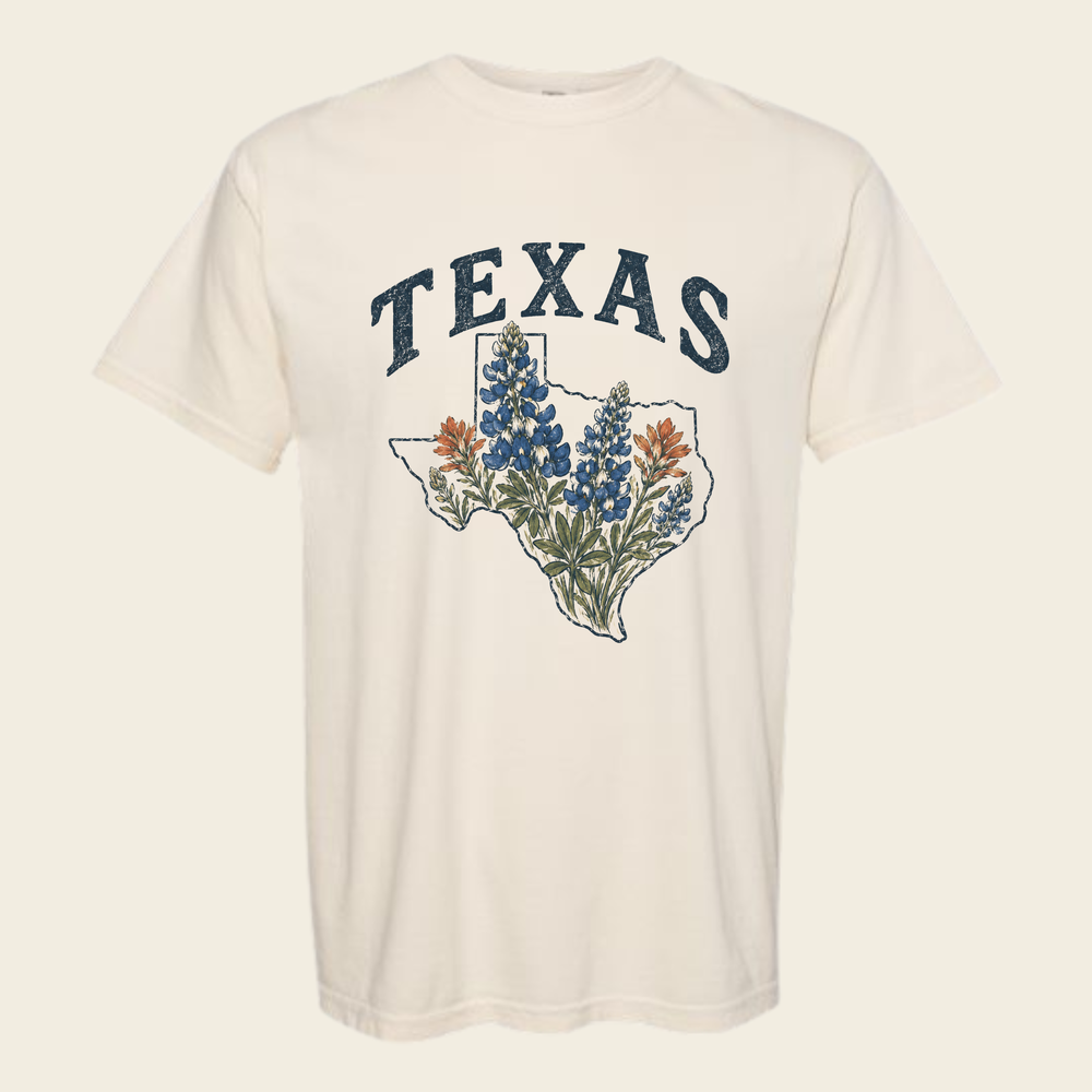
Peak bloom moves around depending on winter rain, so check locally before you build a trip around it. If you catch it right, the valley floor goes blue in a way photos undersell. The Texas Bluebonnet Tee exists because that particular blue is worth remembering the rest of the year.
The Davis Mountains Scenic Loop
Out in far West Texas, Highways 118 and 166 make a loop through the Davis Mountains around Fort Davis. This is real elevation by Texas standards, with pine and oak instead of mesquite, and summer temperatures that feel like a rumor compared to the rest of the state.
Highway 118 climbs past Davis Mountains State Park and up toward McDonald Observatory, which sits on the mountain because the skies out here are some of the darkest in the country. Highway 166 swings around the back side of the range through open grassland where you might not see another car for twenty minutes. Fort Davis itself is a good base, with an old frontier fort worth an hour and a couple of places to eat.
If you are already out this far, you are in the same general orbit as Marfa and Alpine, and the drives between all three towns are good in their own right.
Highway 217 into Palo Duro Canyon
The Panhandle hides its best feature. You drive east from the town of Canyon on Highway 217 across flat wheat and cotton country, dead level to the horizon, and then the ground simply opens up. Palo Duro Canyon is the second largest canyon in the country, and the state park road drops you from the rim to the floor in a series of steep switchbacks.
The color down there is the surprise. Red and orange rock banded with white, junipers on the slopes, cottonwoods along the creek. Go at first light or the last hour before sunset when the walls light up. Summer afternoons on the canyon floor are brutally hot, and the hiking trails post warnings for a reason, so treat the heat like the hazard it is.
The Devil's Backbone
Ranch Road 32 runs along a limestone ridge between Wimberley and Blanco, and the stretch on top of the ridge is called the Devil's Backbone. The road rides the spine with the land falling away on both sides, long views over Hill Country ranchland in every direction. It is short compared to the others on this list, which makes it the easiest to fold into a normal weekend out of Austin or San Antonio.
Locals will tell you the Backbone is haunted. The stories involve ghost riders and old Spanish miners, and they are told with varying levels of sincerity at the tavern along the route. Believe what you like. The drive is worth it either way, especially late in the day heading west into the sun.
Pair it with a stop in Wimberley for the river, or Blanco for barbecue, and you have a full day without ever getting on an interstate. Most of what's in the Texas collection came out of days like that.
Common questions
What is the best time of year for a Texas road trip?
Spring, specifically late March through April, when the wildflowers are out and the heat hasn't arrived. Fall is the second-best window. Summer works for the higher country like the Davis Mountains, but the desert roads and Palo Duro are punishing in July and August.
Do I need a special vehicle for these roads?
No. All six are paved and fine in an ordinary car. The main cautions are fuel, since FM 170 and the Davis Mountains loop have long gaps between gas stations, and livestock on the open-range stretches of the Twisted Sisters.
Can I pull over and walk into the bluebonnets?
On the Willow City Loop, no. The fields are private ranch land and stepping over the fence is trespassing. Plenty of public roadsides and parks elsewhere in the Hill Country have bluebonnets you can sit in without annoying a rancher.
Texas

Made by Land & Light — American lifestyle apparel with a sense of place and a sense of humor.
See every shirt